About AWSIS
Advancing Water Security through Open Data and Community Empowerment
Advancing Water Security through Open Data and Community Empowerment
The Alliance for Water Security in the Indian Sundarbans (AWSIS) is an open data platform designed to transform how communities, researchers, and decision-makers access and utilize water-related information in the Sundarbans region.
By centralizing critical data on water quality, climate patterns, and infrastructure, we enable evidence-based decision making that directly impacts the lives of millions who depend on sustainable water resources.
"Water is the driving force of all nature. Through open data, we transform this force into knowledge that empowers communities."
We envision a world where every community has access to reliable water data, enabling them to protect their water resources, adapt to climate change, and build resilient livelihoods for generations to come.
Key pillars guiding our mission to advance water security
Consolidate water-related datasets from multiple sources into a single, accessible platform for streamlined research and analysis.
Provide actionable insights and visualizations that support informed policy-making and resource allocation decisions.
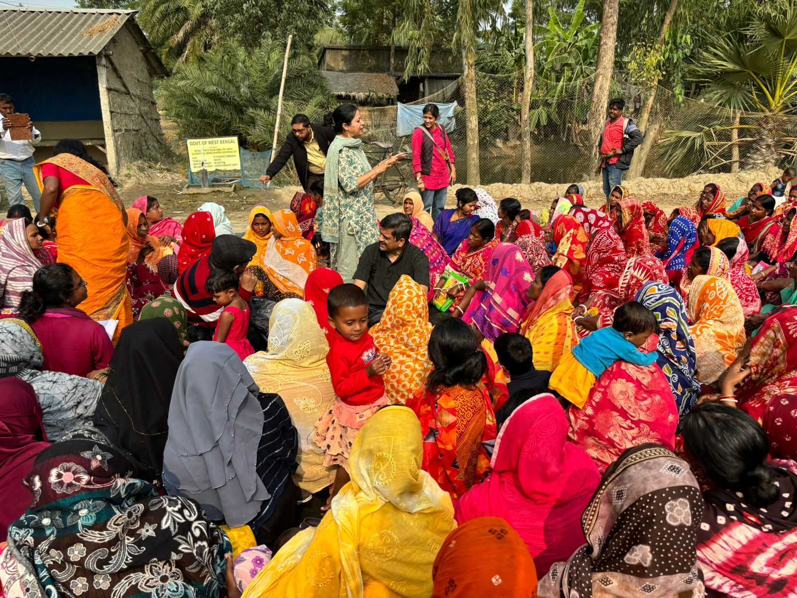
Enable local communities to participate in data collection and benefit from water security insights that affect their daily lives.
Build local technical capacity for data management, analysis, and the sustainable operation of water information systems.
Growing repository of water security data
Understanding the unique water challenges of the world's largest mangrove forest
Monitoring saltwater encroachment into freshwater sources affecting agriculture and drinking water.
Tracking cyclone impacts, sea-level rise, and changing monsoon patterns on water availability.
Mapping groundwater arsenic levels to protect communities from chronic exposure risks.
Whether you're a researcher, policy maker, or community member, there are many ways to contribute to and benefit from AWSIS.